Book Tickets Online
About
This six mile walk (taking around 2.5 hours) is around the historic market town of Aylsham, which dates back to pre-Norman times. The walk starts from the free Buttlands car park in Aylsham. Aylsham is situated just off the A140, approximately 11 miles north of Norwich.
Free parking is available in Aylsham (Buttlands car park).
Nearest Train Station: North Walsham station is approximately 7 miles.
Route:
From the car park, head to Mill Road and turn right. At the end of the road, cross into Cawston Road ahead. Opposite the trees, turn left along a track signed 'public footpath' to Stonegate Lane (Jewel's Lane). Continue along the track and path. Take the steps and cross over the Marriott's Way and across the main road. Then immediately cross a stile ahead. Take the continuing field edge path and at a field boundary, head directly across the field. Cross a stile into the next field and continue straight ahead, slightly to the right, crossing a footbridge over a dyke and then head for the field corner. Cross the next stile into a lane and turn left along the lane.
Just after Stonegate Farm, turn right along the track and where the track turns left, walk straight ahead along a grass track. At the end of this track, turn right. You will see a concrete area on your right and just past this where the track veers left, head directly across the field towards a gap in the far hedge. At the road, cross and veer left along the track. After a short distance, turn right before a wooden fence and walk along a field boundary with woodland on your left.Continue along a track which turns left then right along the edge of the woodland. The track turns left again and here, take the path that veers to the right off track through the edge of the woodland. At the bottom of the railway embankment, turn right along the path that takes you onto Marriott's Way. Continue along Marriott's Way for some distancing, crossing a track. Pass through the next gates over a track, and at the next road crossing, after the gate, turn left and then immediately right along Green Lane.
Follow the track between an avenue of trees towards St Michael's Place in the distance. The path turns left, and at a track junction, continue straight ahead. Veer left by the entrance to Manor Farmhouse gate and follow the track. Go through a gate, and at the end of the road, turn left then right next to a farm entrance signposted Blickling. Continue along a field path crossing a stile into a wide grassed avenue. Turn right heading to Aylsham Old Hall (dated 1686). Exit the grassed avenue by the gate and turn left where the Weavers' Way sign directs, keeping to the wide grass track to the left of the road. The path goes uphill along the old route of the road and just before the brow of the hill, turn right along a path.
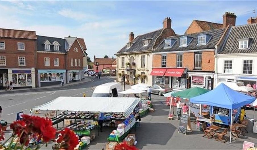
Pass through the gate and cross the road. Pass through a gate and head along Weavers' Way, eventually walking over a bridge, under an old railway bridge and then continue over three bridges. Follow the path under the next bridge, and sraight ahead through a gate. Cross the road bridge, taking care with the traffic. Cross two bridges and then you can enjoy a view of the late 18th century Aylsham Mill. Turn right into New Road and where the road bends to the left. pass Ash House on the left, and turn left into Abbott's Close. Take the next right onto Town Lane, emerging opposite the Methodist hall. Turn right then left onto Red Lion Street, signed Town Centre. Turn right through the Market Place. surrounded by 17th and 18th century properties. At the Black Boys Inn, cross into Hungate Street and then turn right into Unicorn Yard. Continue along the path, turning left into the car park and back to the starting point.
Facilities
Routes
- Length of route (miles) - 6 miles
- Typical duration of route - 2.5 hours


