Book Tickets Online
About
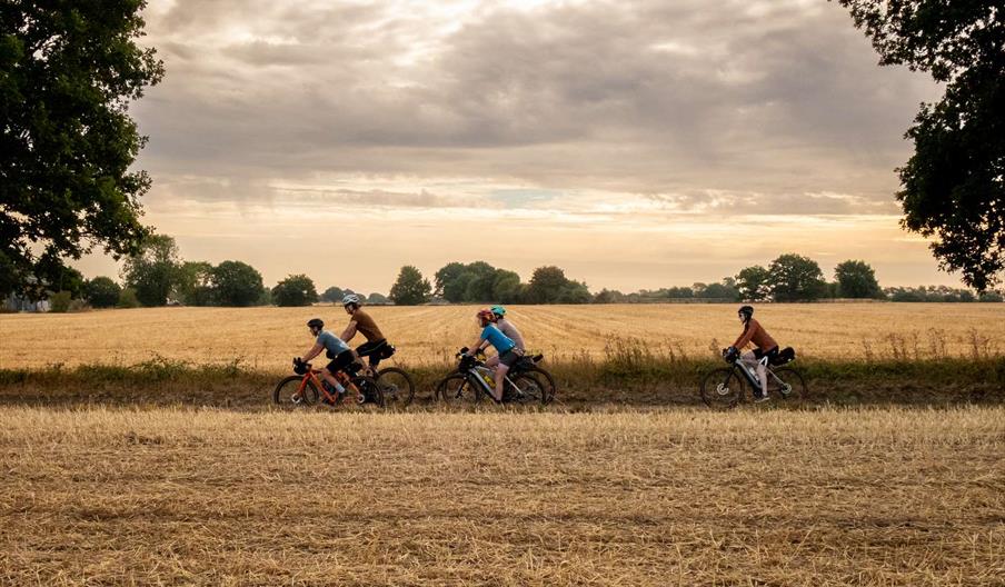
This 233-mile route is inspired by two of Norfolk’s famous rebel leaders: Robert Kett and Boudicca.
Boudicca led a revolt against Roman rule almost 2,000 years ago. Heading out of Norwich, the Rebellion Way passes by Venta Icenorum, the capital of Boudicca’s Iceni tribe, where you can still see remains of the settlement. The route also passes Kett’s Heights, a key location in Kett’s Rebellion in 1549, when rebels destroyed fences of wealthy landowners. The group targeted Robert Kett who, instead of fighting the rebels, joined and led them to march on Norwich, taking the city.
The route begins and ends in the city of Norwich. It is designed to be ridden over four to six days in one go but can be comfortably split in half at King’s Lynn with easy onward transport options. The route takes in much of north Norfolk including Wells, Holt, Sheringham and Aylsham
You can see the route here. Printed guidebooks can be purchased through Cycling UK's online shop.
Routes: The full route is 373km / 233 miles, which is recommended to take around 4-6 days to ride. It can be easily split in half at King's Lynn to do as a linear route by train. There is also an option to cut across the middle between Stoke Holy Cross and Swaffham to create two shorter loops: Rebellion Way north loop: 304km | Rebellion Way south loop: 171km.
Where to start: The official start of the Rebellion Way Way is Norwich, with the GPX route starting at the railway station for convenience. However, you could also start in King’s Lynn or Thetford if you’re coming from the west or south. There are railway stations at Thetford, King’s Lynn, Sheringham and Cromer which will get you back to Norwich if you want to do the route in separate segments or need a bailout option.
There are long-stay car parks in King’s Lynn which permit multi-day stays. You can purchase a ROVER parking ticket which is valid for seven days, or just pay at the machine for the amount of time you would like to park for.
Terrain: The route doesn’t climb above 100m at any point and when it does it’s almost always very gentle. While it can be affected by headwinds, a lot of the route is sheltered by trees and thick hedges so the pedalling is never painful. This is a mixed-surface route, but not a technical one. Most of the off-road surfaces are on hard-packed gravel that rides well in all weathers but some sections can be sticky or slippery if it’s been wet. There’s also a section of sand near King’s Lynn and a steeper off-road climb near Sheringham where you might need to push.
Navigation: The Rebellion Way is not a signposted route. However it overlaps in places with National Cycle Network route 1 and the Boudicca Way walking trail so in parts those signs can be followed. The cycle route into King’s Lynn and then out again to Castle Rising and Sandringham is well signposted too.
Otherwise, joining up the most fascinating and forgotten parts of Norfolk while staying away from traffic inevitably means the route meanders in places and there are a couple of turns or trail entrances which are easily missed. Therefore, using a GPS is recommended, as many parts of the route won’t show up on a ‘road map’. The video overview that covers the route will also highlight some of the tricky navigation spots (search for ‘Rebellion Way GuyKesTV’ on YouTube).
On a plus note, the Norfolk countryside is an absolute web of tiny lanes running in all directions, so if you do overshoot – or just want to dodge on off-road section or take a shortcut – then there will usually be several options.
The route goes through towns and villages to provide opportunities for frequent stops. Apart from King’s Lynn, midsummer Hunstanton and Norwich, they’re all very quiet and you’ll generally be able to bypass them easily if it’s complete quiet you’re after.
Facilities
Routes
- Length of route (km) - 373
- Length of route (miles) - 232
- Typical duration of route - 4 to 6 days
Map & Directions
Video
- Rebellion Way


